Gis Software
Advertisement
CubeDynasim v.1. 4. 2017
Cube Dynasim is an extremely powerful software system allowing planners and engineers to quickly simulate, visualize, and evaluate the effects.
ArcGIS Explorer v.10.0.1700
ArcGIS Explorer Desktop is a free GIS viewer that gives you an easy way to explore, visualize, and share GIS information. ArcGIS Explorer adds value to any GIS because it helps you deliver your authoritative data to a broad audience.
GeoclipSolo v.2.5.0.33
Géoclip Solo includes a building tool which is described above. It also includes a base map conversion tool (see picture opposite). The geographic layers which are assembled to build a géoclip are in the swf format.
CartoMAP Viewer v.2.0
CartoMAP Viewer can help you to view GIS files.CartoMAP Viewer Features: 1. Use with any database 2. Supports for ArcView shape and MapInfo files 3. Import DXF Entities 4. Various spatial analysis functions 5. Various thematic routines 6. Automatic

Thuban for Linux v.1.2.2
Thuban is an interactive geographic data viewer (GIS viewer) which features methods to visualize, explore, and analyze geographic information.
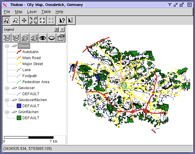
Thuban for Mac OS X 1.0.1-3 v.3
Thuban is an interactive geographic data viewer (GIS viewer) which features methods to visualize, explore, and analyze geographic information.
Thuban for Windows v.1.2.2
Thuban is an interactive geographic data viewer (GIS viewer) which features methods to visualize, explore, and analyze geographic information.
Argus ONE v.4 2
The Argus Open Numerical Environments (Argus ONE) enable you to easily and intuitively prepare your data for any modeling package, finite element as well as finite difference based.
Cadcorp SIS Map Browser v.7 1
Cadcorp Map Browser is an application which allows the user to browse OGC® standard geographic data served on the web. Global demand for open systems interoperability is accelerating. Open Geospatial Consortium, Inc.
ASF Convert To Vector v.2 2
ASF Convert To Vector is a freeware software by Alaska Satellite Facility Convert to Vector is a small program made to transform point or scene information to various other formats that are compatible with external applications such as Google Eart