Gis Software
Advertisement
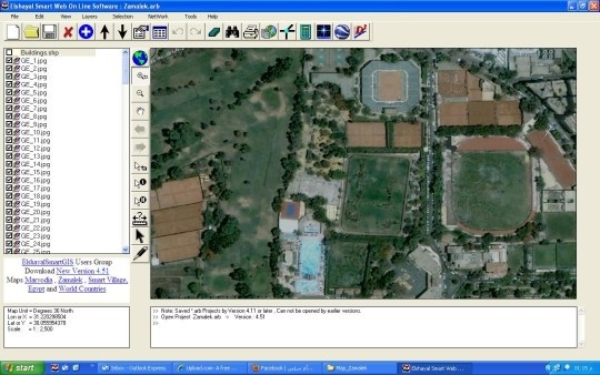
Elshayal Smart v.4.84
Elshayal Smart is the first Arabian GIS software that is completely developed by Arabian developers team and independent of any commercial software package.
Advertisement
AutoDEM
AutoDEM (aka as AutoMNT) is a freeware GIS software to create Digital Elevation Models (DEM) from scanned topographic maps for Windows. Through different data layers (map, contours, DEM, etc.
GeoMedia Viewer v.6.1.5.19
GeoMedia Viewer is an easy to use, FREE GIS software application for desktop viewing and distribution of geospatial data.
Framework Archaeology Free Viewer v.1 5
The Framework Free Viewer is optional but is provided in case you do not have access to GIS software. The Framework Free Viewer is only useful when when working with data provided by Framework Archaeology.
DNRGarmin v.5. 4. 2001
DNRGarmin is a smart tool used to directly transfer data between Garmin GPS handheld receivers and various GIS software packages.
SkyJUMP v.1.2.2
Edit and generate spatial datasets with the help of this tool. SkyJUMP is an open source GIS software for the creation and use of facility maps and data on small to medium sized areas such as cities or military bases.
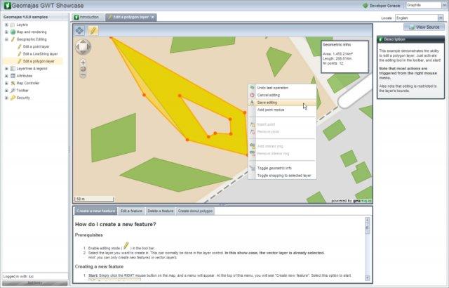
Geomajas v.1.8.0
Geomajas is a web mapping GIS software with full vectorial editing capabilities, and support for custom attribute relation models in the browser.
ArcExplorer v.4.0.1
ArcExplorer is a lightweight GIS data viewer developed by ESRI.
ArcGIS Explorer v.10.0.1700
ArcGIS Explorer Desktop is a free GIS viewer that gives you an easy way to explore, visualize, and share GIS information. ArcGIS Explorer adds value to any GIS because it helps you deliver your authoritative data to a broad audience.
CartoMAP Viewer v.2.0
CartoMAP Viewer can help you to view GIS files.CartoMAP Viewer Features: 1. Use with any database 2. Supports for ArcView shape and MapInfo files 3. Import DXF Entities 4. Various spatial analysis functions 5. Various thematic routines 6. Automatic
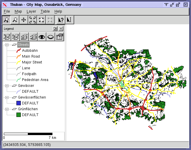
Thuban for Linux v.1.2.2
Thuban is an interactive geographic data viewer (GIS viewer) which features methods to visualize, explore, and analyze geographic information.